Making a Relief Map for the Monkey King Box

Take a Peek at Meet Monkey King: A Legend from China Teacher’s Guide
January 27, 2015
Making Shadow Puppets for the Monkey King Box
May 11, 2015

Making a Relief Map for the Monkey King Box

Did you know that the Chinese were the first to make relief maps? They made three-dimensional maps as early as the third century BCE to help with navigation and exploration. Early maps were chiseled out of rock or carved in wood and silver mercury (poisonous!) was used to depict rivers.

A suggested activity in the Monkey King Teacher’s Guide is to create a relief map that shows the path the Tang Buddhist monk Xuanzang took on his journey to collect Buddhist scriptures from India and bring them back to China. By creating the map, students can learn a little about Chinese geography and some of the perilous terrain explorers faced traveling along the Silk Road.

No mercury here…the map is a large piece of plywood covered with blue and green plasticine. The purple squares represent the Great Wall.

Map of  Xuanzang's Journey

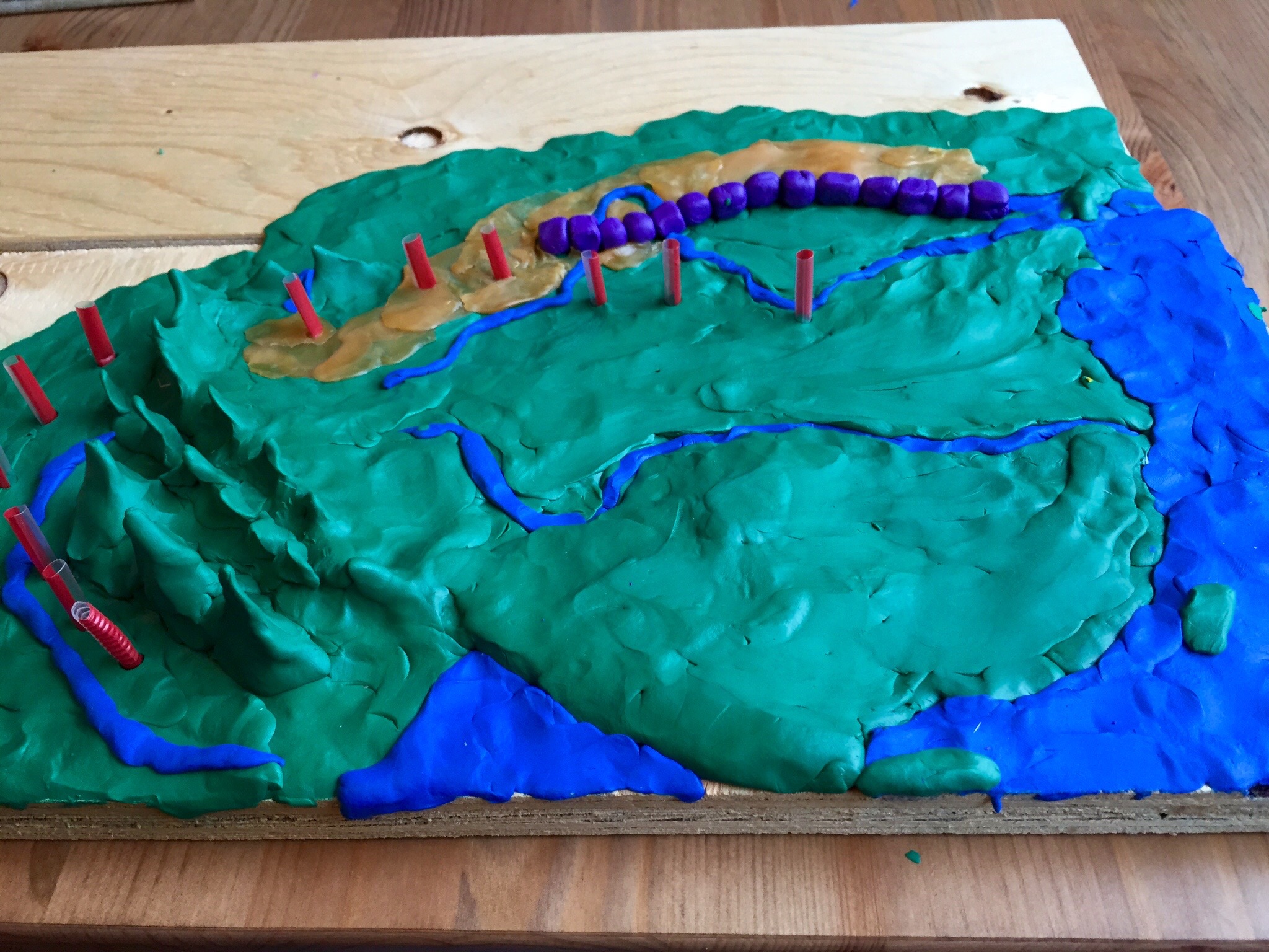
Map of Xuanzang’s Journey